Gorgeous Fall Week Brings Sunny 60s and 70s to North Carolina as Coastal Flooding and 45 MPH Gusts Linger on Outer Banks Through Tuesday
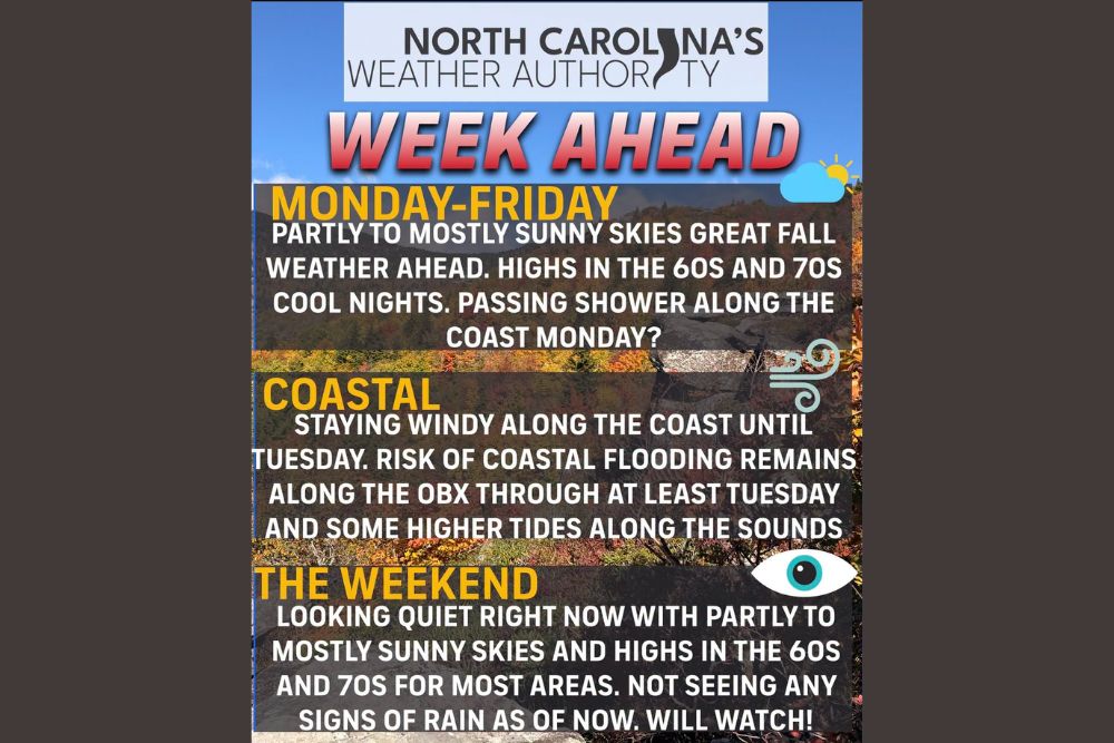
RALEIGH, NC — North Carolina is heading into a week of gorgeous fall weather, with partly to mostly sunny skies, comfortable afternoons, and cool nights expected from Monday through Friday. Highs will generally range from the 60s to 70s across the state, offering ideal conditions for outdoor plans. The only hazardous weather concern this week centers on the coast, where coastal flooding and gusty winds will remain a threat along the Outer Banks through at least Tuesday.
Pleasant Weekday Weather Across the State
From the Mountains to the Piedmont and Coastal Plain, the workweek will feature classic autumn conditions. Afternoon highs will settle in the 60s and 70s, while clear skies at night will allow temperatures to drop into a crisp, fall-like range. The combination of sunshine and mild air makes this an excellent stretch for hiking, leaf viewing, yard work, and outdoor events.
A passing shower is possible along the coast on Monday, mainly across the Outer Banks. Outside of that brief chance, dry weather is expected to dominate for most of the state throughout the week.
Coastal Flooding Risk Continues Along the Outer Banks
The main weather concern this week remains along the coastline. A risk of coastal flooding will continue through at least Tuesday, especially along vulnerable portions of the Outer Banks. Persistent onshore winds and elevated water levels may push ocean water onto low-lying roads and properties, particularly during high tide cycles.
Soundside flooding is also possible, with higher tides expected along the Pamlico Sound and Albemarle Sound. Residents and visitors in flood-prone areas, including stretches of Highway 12, should use caution and avoid driving through flooded roadways.
Gusty Winds of 30 to 45 MPH Along the Coast
Windy conditions will persist along the coast until Tuesday, with gusts of 30 to 45 mph likely. These strong winds can create rough surf, dangerous rip currents, and hazardous boating conditions in both ocean and sound waters.
Beachgoers should stay out of the water during this period, while boaters are encouraged to monitor marine forecasts before heading out. Loose outdoor items such as patio furniture, trash bins, and decorations should be secured to prevent wind damage.
Calmer Conditions Return by Midweek
Once the coastal winds ease after Tuesday, conditions along the shoreline should gradually improve. Water levels are expected to settle as onshore winds weaken, reducing the risk of additional flooding. The rest of the week will bring a return to the same pleasant fall weather seen inland, with mild afternoons and comfortable evenings.
Quiet and Dry Weekend Ahead
The upcoming weekend is also looking very nice across North Carolina. Current forecasts show partly to mostly sunny skies with highs in the 60s and 70s for most areas, and no rain expected as of now. Forecasters will continue monitoring the pattern, as weekend forecasts have changed several times in recent weeks.
For now, residents can look forward to an excellent weekend for fall festivals, football games, pumpkin patches, and other outdoor activities across the state.
What Residents Should Keep in Mind
Inland residents can enjoy one of the most pleasant weeks of the season, while those along the coast should stay alert to flooding and wind hazards through Tuesday. Checking local forecasts and coastal alerts will remain important for anyone traveling to the Outer Banks early in the week.
For continuing coverage of fall forecasts, coastal flooding alerts, and critical weather analysis across the United States, visit Weather Radar.